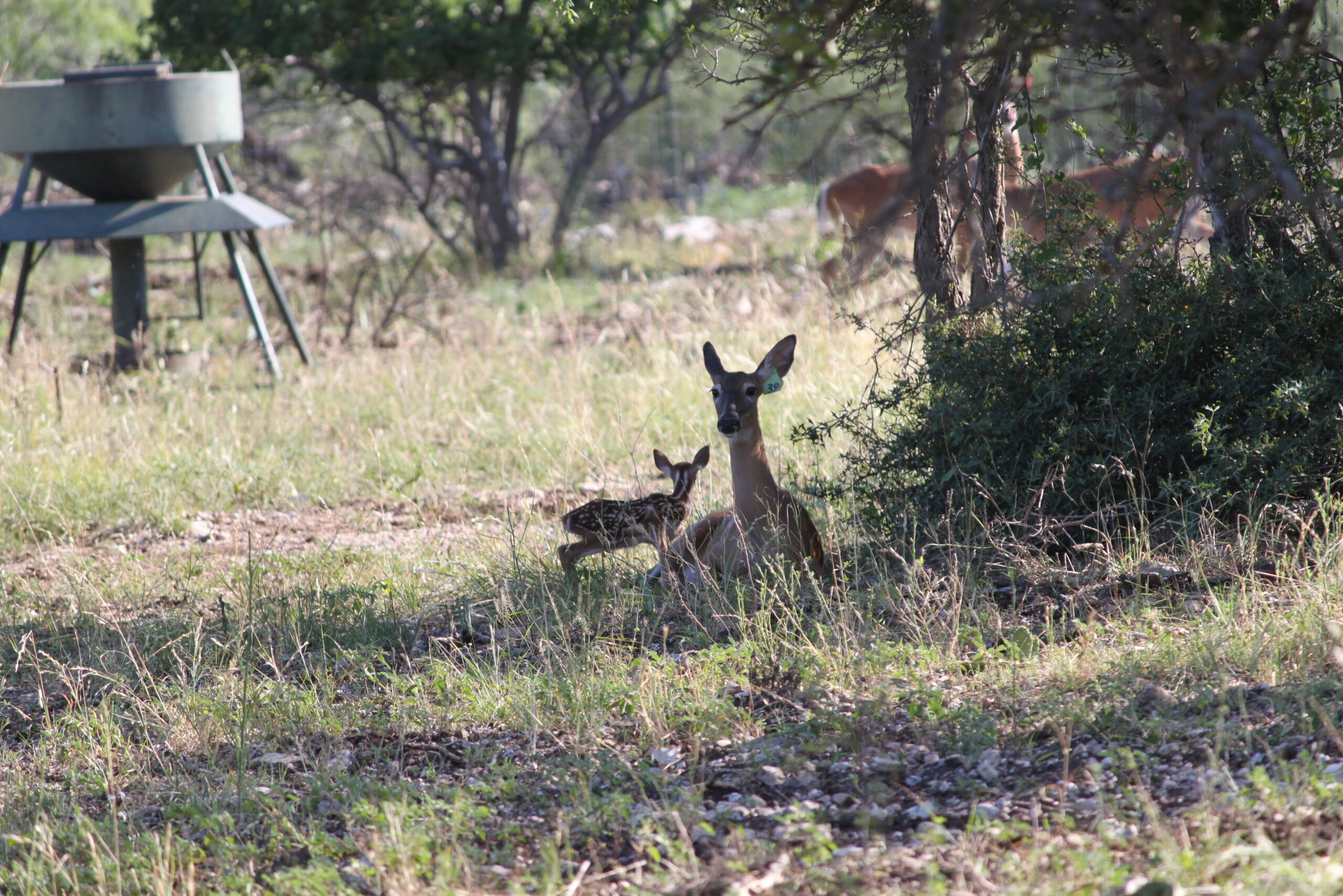
Leveraging Drones for Effective White-Tailed Deer Surveys
With advancements in technology, drones have become a critical tool for wildlife management, providing an efficient approach to surveying white-tailed deer populations. Traditional methods like spotlighting and aerial surveys have been foundational in population estimates but come with limitations. Drones, especially with thermal imaging and AI, offer significant advantages in accuracy, safety, and cost-effectiveness. Here’s an in-depth look at how drones are transforming white-tailed deer surveys based on recent research and practical applications.

1. Accuracy and Reliability
Traditional deer population surveys, such as spotlighting, often have limitations in accuracy due to visibility restrictions. Studies, like those by Texas A&M University, demonstrate that spotlighting frequently underestimates deer populations, particularly in dense vegetation. In contrast, drones offer a bird’s-eye view for more consistent detection across varied terrains. Thermal imaging, as shown in The Wildlife Society’s Texas study, allows drones to detect deer even through tree cover, making them a highly accurate survey option.
2. Thermal Imaging for Precise Detection
Thermal imaging enables drones to detect animals by their heat signatures, operating effectively in low-visibility conditions such as dawn, dusk, or even nighttime. The advantage of thermal imaging is its ability to identify deer in areas with dense foliage, where spotlight and helicopter surveys often fall short. For example, a study by Borderlands ResearchInstitute confirmed that thermal drone surveys can accurately detect animals in thick woodlands, where visual surveys may miss deer.
3. Cost-Effectiveness Compared to Helicopter Surveys
Helicopter surveys, while effective, come with high operational costs, including fuel, personnel, and maintenance expenses. Drones offer a lower-cost alternative, as a single operator can survey a large area at a fraction of the cost. According to The Wildlife Society’s findings, drones provide reliable results while also being safer and reducing disturbance for the wildlife.
4. Safety for Wildlife and Operators
Drones provide a safer alternative for both wildlife and operators compared to helicopter or vehicle surveys. Helicopter surveys, while traditional, can disturb animal behavior due to noise and proximity, often altering deer movement patterns. Drones, operated at higher altitudes, minimize disturbances, allowing for natural behavior to be observed. This less intrusive approach, along with cost efficiency, makes drones an attractive option, as shown in applications like those inBotswana for wildlife monitoring.
5. AI and Automation in Wildlife Monitoring
The integration of AI with drone technology represents an innovative shift in wildlife monitoring. In Botswana, AI-assisted drones are used to differentiate between poachers, wildlife, and conservation personnel. Similar technology could be used to automate deer identification and counting, enhancing the accuracy of survey results and saving time. As AI improves, it could potentially differentiate between individual animals, aiding in comprehensive population tracking.

6. Adaptability Across Different Landscapes
Drones’ versatility allows for effective use across various landscapes, from open fields to dense forests. Helicopters and ground vehicles struggle in heavily forested areas, but drones can operate at lower altitudes and maneuver around obstacles, making them ideal for diverse terrains. Thermal drone surveys have proven effective across Texas’ varied landscapes, enabling researchers to survey without being hindered by environmental obstacles, as demonstrated in the Borderlands Research Institute’s work.
7. Enhanced Data for Informed Management Decisions
The frequent, reliable data drones provide allow wildlife managers to make better-informed decisions. Accurate population and density estimates are critical for setting hunting quotas, managing habitats, and implementing conservation measures. Drones provide real-time population data, as shown by studies like those at The Wildlife Society, helping managers respond to population fluctuations and environmental changes proactively.
8. Potential for Broader Applications in Wildlife Conservation
While drones are ideal for white-tailed deer surveys, their applications extend to other conservation efforts. In Botswana, drones with AI help monitor endangered species like rhinos, demonstrating their adaptability. This technology could also apply to other large game, birds, or even smaller mammals, providing valuable data for habitat preservation and ecosystem management.
Challenges and Future Prospects
Despite these advantages, some challenges remain, such as dense vegetation and weather limitations. Regulatory requirements, such as airspace restrictions and wildlife disturbance laws, also impact drone use. However, as drone and AI technology advance, and with cooperation from conservation organizations and regulatory bodies, drones are poised to become a staple in wildlife management.
Conclusion: A New Era for Wildlife Management
Drones for white-tailed deer surveys bring unprecedented accuracy, cost-effectiveness, and minimal disturbance. As technology and AI evolve, drones are likely to play an even larger role, supporting more sustainable and informed wildlife management strategies. For further details, check out Deer & Deer Hunting and the latest Thermal Drone Study on the advantages of drones in wildlife conservation.

